2nd Runner-Up – NASA Space Apps Challenge 2025 (Local Round)
Data Pathways to Healthy Cities and Human Settlements
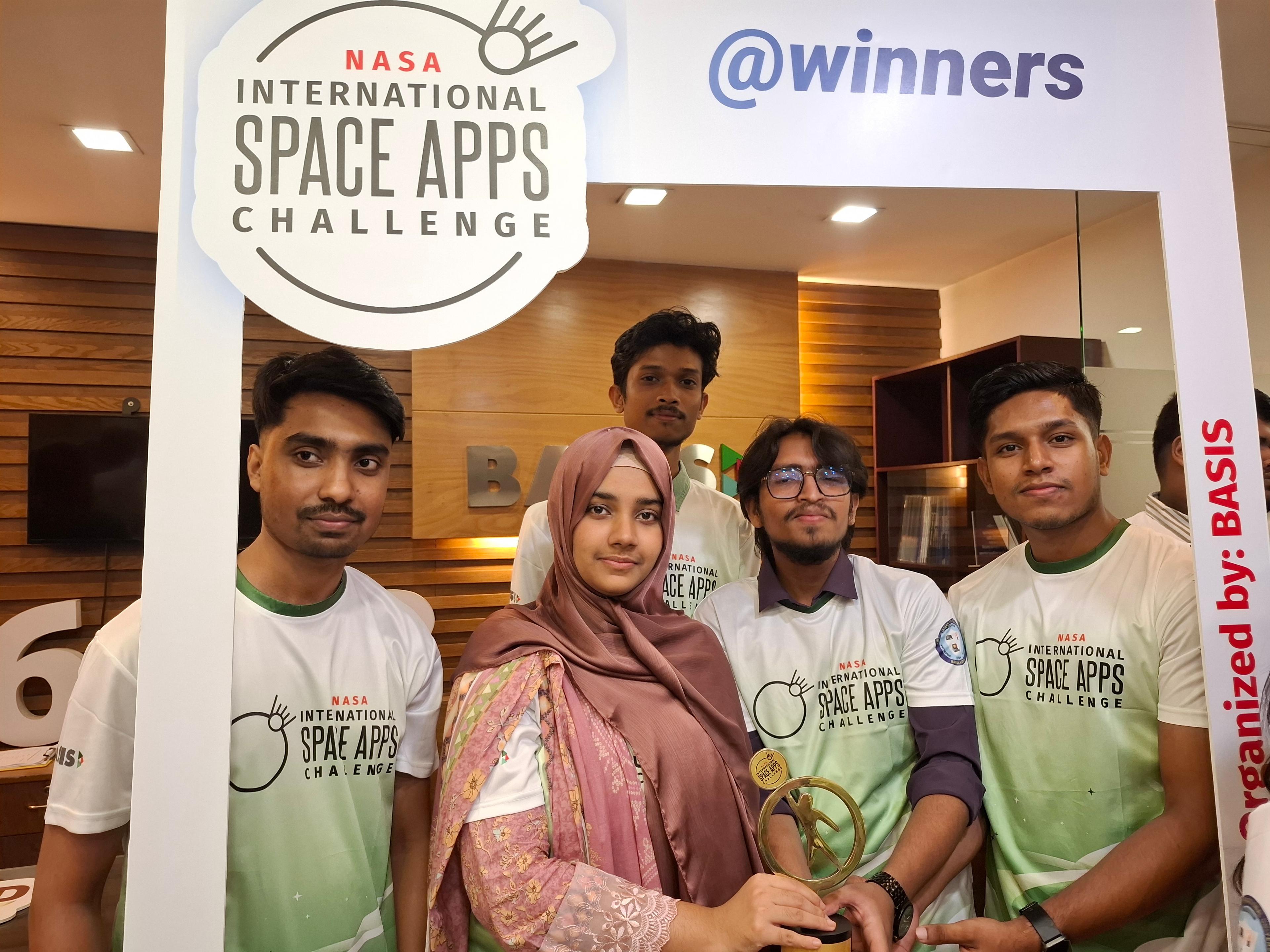
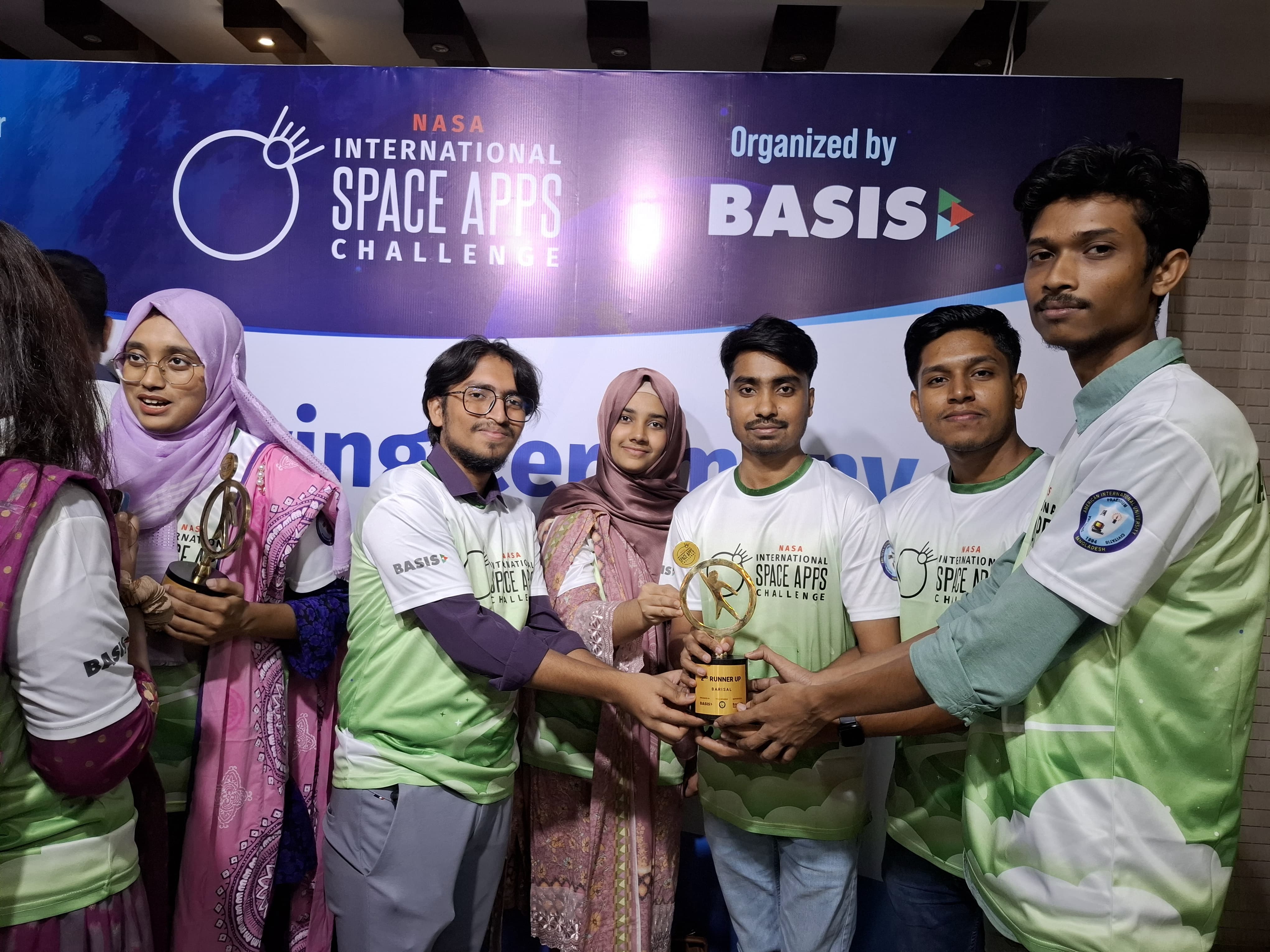
Our team proudly secured the 2nd Runner-Up Award at the NASA Space Apps Challenge 2025 (Local Round). Competing with top innovators, we showcased our AI-powered healthy city solution where we use nasa Earthdataset. We basically predict where we need park and hospital based on NASA's temparature data, vegitation data, populatiion dense data etc.
It is an AI-powered urban planning web & mobile app platform developed for the NASA Space Apps Challenge 2025 under the theme “Data Pathways to Healthy Cities and Human Settlements.” Our system integrates NASA EarthData (MODIS LST, MODIS NDVI) and WorldPop population density into an H3 hexagonal grid. By processing these datasets, CityPath identifies urban heat hotspots, evaluates green space coverage, and highlights underserved communities. We then apply AI-driven recommendations to suggest where new parks, clinics, housing, or health interventions should be prioritized. The platform provides both a web and mobile interface, featuring an interactive map with choropleths, recommendation layers, and real-time insights. An AI chat assistant allows city planners and community leaders to ask natural language questions like “Where should new clinics be built?” and instantly receive both explanations and mapped suggestions. CityPath is important because it transforms complex Earth observation data into actionable, community-focused insights. By supporting data-driven decision-making, it empowers urban planners to build healthier, more sustainable, and more resilient cities—particularly vital for rapidly growing urban areas like Dhaka.
Showcase

What it does
- Users can choose their role—urban planner or local leader—and then select their location. Currently, the pilot project is available only for Dhaka, Bangladesh.
- Shows exact hex IDs for heat, population, vegetation index for the pilot city Dhaka
- Explore hotspots directly on the map
- Ask the AI Assistant questions like “Where should we add clinics?” and see recommended areas highlighted
- Modular, Extensible Design
Goal
Enable data-driven urban planning and community action toitigate urban heat effects, enhance green spaces, and improve city livability through scalable geospatial decision support.
Tech stack
- AI / LLM
- OpenAI GPT-4o for natural language recommendations.
- Other platform used
- Canva, Google Colab
- Vector DB & Dataset
- FAISS , NASA AppEEARS, WorldPop
- Deployment
- Docker-based backend + web client
- Frontend
- React, Javascript, LeafletJS for interactive maps
- Backend
- Python, FastAPI, Pandas, Rasterio, H3, TQDM
Team
Tasrif Nur Himel
Project Lead, LLM Integration, Vector DB, OCR
Mojahid
App Developer
Links & references
Have an AI problem worth solving?
Tell me what you are trying to build. I will tell you honestly whether AI is the right tool, what it would take, and how I would approach it.
Typical reply within 24 hours
Working from Dhaka, Bangladesh · remote worldwide